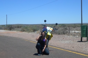
The major route (not including the minor siteseeing inbetween) was
Day 1
Cape Town to Clanwilliam (230km +120 km)
Day 2
Clanwilliam to Lambert’s bay (62 km)
Lambert’s bay to Doringbaai (37km)
Doringbaai to Lutzville (35km)
Lutzville to Nuwerus to Bitterfontein (75km)
Day 3
Bitterfontein to Springbok (180km)
Day 4
Springbok to Komaggas (62km)
Komaggas to Kleinsee (73km)
Kleinsee to Komaggas (73km)
Komaggas to Springbok (62km)
Day 5
Springbok to Kakamas (294km)
Kakamas to Augrabies (24km)
Day 7
Augrabies to Olifantshoek (270km)
Olifantshoek to Kimberley (254km)
Day 8
Kimberley to Bloemfontein (165km)
Day 9
Bloemfontein to Lesotho (Maseru) (146km)
Maseru to Thaba Bosiu (24km)
Day 10
Thaba Bosiu to Ha Kome
Ha kome to Malealea
Day 11
Malealea to Quthing (122km)
Day 12
Quthing to South Africa (Qachas Neck) (169km)
Qachas Neck to Matatiele (38km)
Matatiele to Kokstad (68km)
Kokstad to Port Shepstone (140km)
Day 13
Port Shepstone to Port St Johns (246km)
Day 15
Port St Johns to PE (577km)
Day 16
PE to Knysna (260km)
Day 17
Knysna to Cape Town (490 km)

Leave a comment